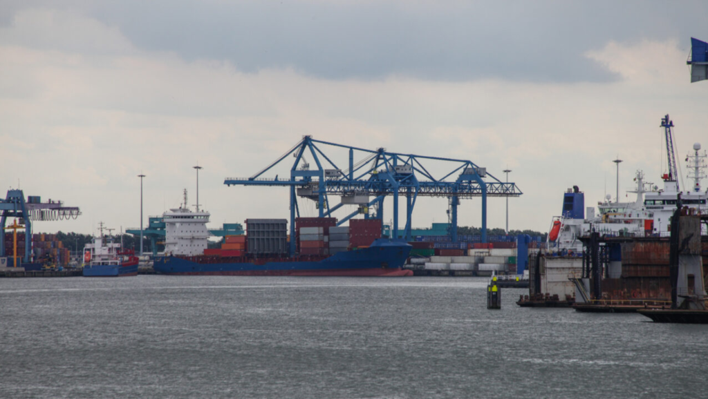
Project owner
The project has been developed by the Port of Rotterdam in collaboration with the Hydrographic Service of the Royal Netherlands Navy.
Project description
The Port of Rotterdam has implemented an innovative system that assigns Global Location Numbers (GLNs) to terminals and berthing locations, replacing name-based references—which may change when terminal ownership changes and cause inconsistencies—with the goal of improving the accuracy and coherence of location data. Each berth or terminal now has a unique, verified identifier, eliminating confusion and errors in data exchange among port stakeholders.
The system has been integrated into HaMIS and Portbase, and the data has also been incorporated into Electronic Navigational Charts (ENCs). In addition, the information is validated and updated twice a day, ensuring a single reliable source for the entire port community.
Unlike current solutions, which in many ports still rely on internal codes or fragmented records, this standardisation introduces a universal and interoperable language that increases safety, reduces the risk of error and optimises maritime and logistics traffic planning.
Project objectives
The main objective is to create a single source of validated location data, accessible through an API, in order to increase safety and efficiency in port call and service planning through standardised and reliable data management.
This enables shippers and charterers to verify whether vessels meet berthing specifications without depending on multiple data sources.
The project also aims to serve as a scalable model for other ports and to support compliance with international regulations, reinforcing the Port of Rotterdam’s position as a benchmark in port digitalisation and innovation.
Publication date
23 October 2025