Project Lead
The project is led by Amphitrite, a French startup founded by oceanographers specialized in marine modelling, and a member of the NVIDIA Inception program, the global accelerator for deep-tech start-ups working with AI and high-performance computing.
The startup has been selected by international accelerators such as PortXL and has been a finalist in technology competitions in Hong Kong.
Project Description
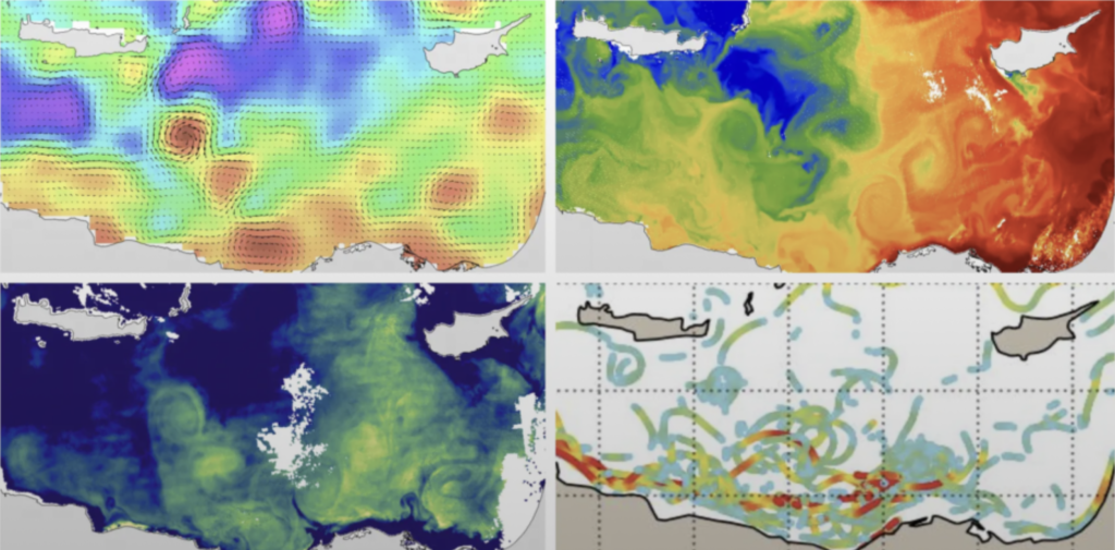
This innovation case presents an AI-based ocean-meteorological platform that integrates satellite data, buoys, sensors, physical models, and next-generation digital simulations to generate a detailed three-dimensional and dynamic representation of the ocean. The platform operates as an oceanic digital twin, dividing the sea into 3–4 km resolution cells, with hourly updates and a historical archive of over 10 years, enabling the training of AI models on a large and robust data foundation.
Amphitrite leverages NVIDIA Earth-2, a planetary digital twin created by NVIDIA to simulate climate and ocean dynamics with far greater precision than traditional meteorological and oceanographic models. This high-accuracy simulation infrastructure enables much more reliable forecasts, especially in coastal and port environments where variability is high. The platform prioritizes operational predictions up to one week ahead, a critical horizon for route planning and decision-making in navigation and maritime logistics.
The system transforms this large volume of data into actionable operational intelligence, providing navigation recommendations and support tools to optimize maritime routes, improve estimated time of arrival (ETA), and enhance safety. According to the company, this capability enables up to a 5% reduction in fuel consumption on commercial routes thanks to far more precise optimization based on currents, waves, and meteorological conditions.
The platform is built with an API-first architecture, allowing ports, shipping companies, and logistics operators to easily connect and integrate the data into their own systems or port digital twins. This ease of integration, combined with its high resolution and precision, makes it a differentiating tool compared with conventional models, which are often more general, less frequent, and poorly adapted to the operational reality of coastal areas.
Project Objectives
The main objective is to provide the maritime sector with an advanced tool for understanding ocean-meteorological conditions that improves operational efficiency and sustainability by enabling route optimization, fuel consumption reduction, enhanced safety, and better forecasting in coastal and port areas. It also ensures seamless integration with existing systems and supports commercial and naval operators in strategic decision-making. In addition, the solution contributes to the decarbonization of maritime transport by directly improving energy efficiency and operational planning.
Publication Date
December 3rd, 2025